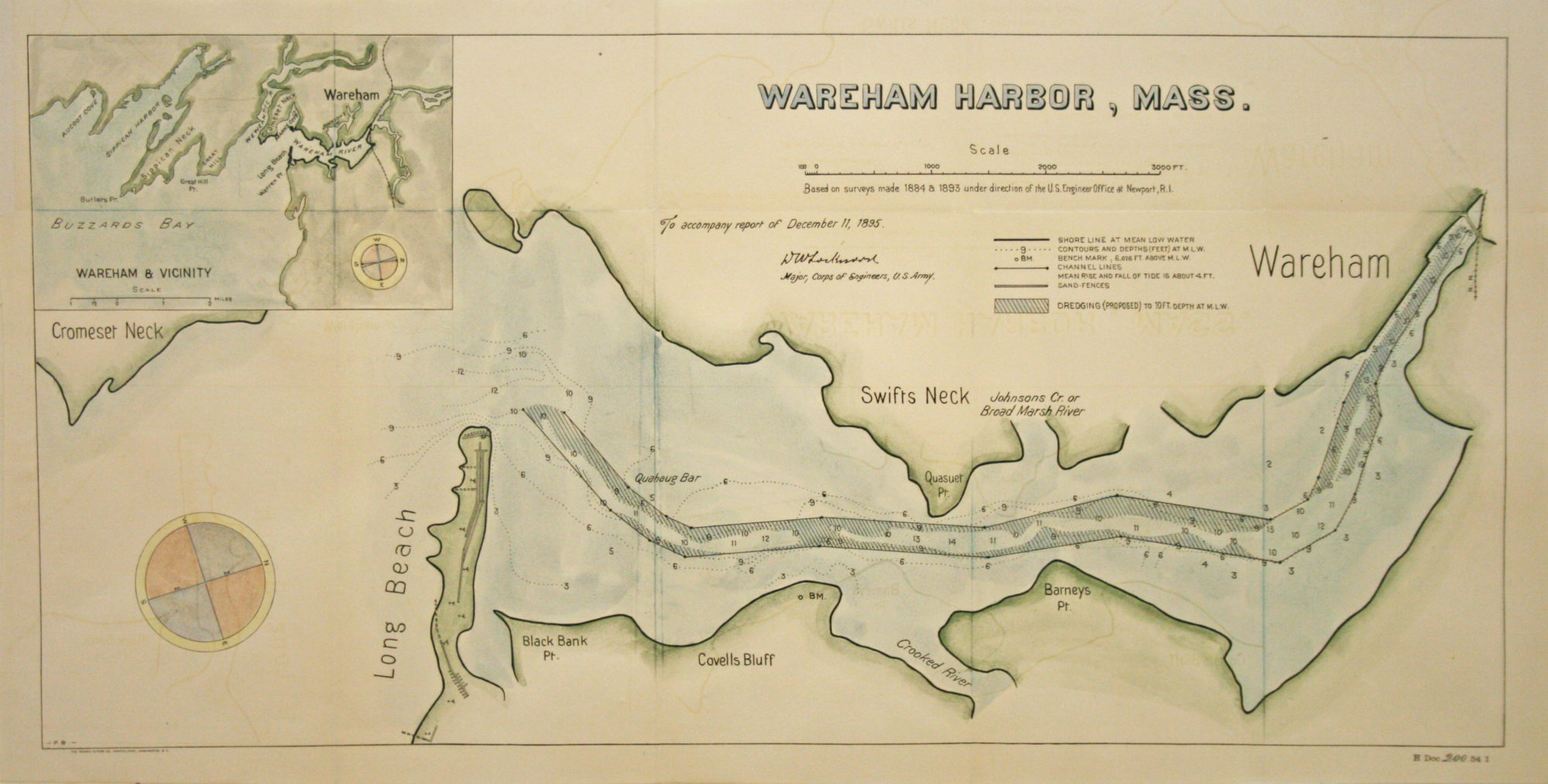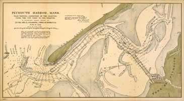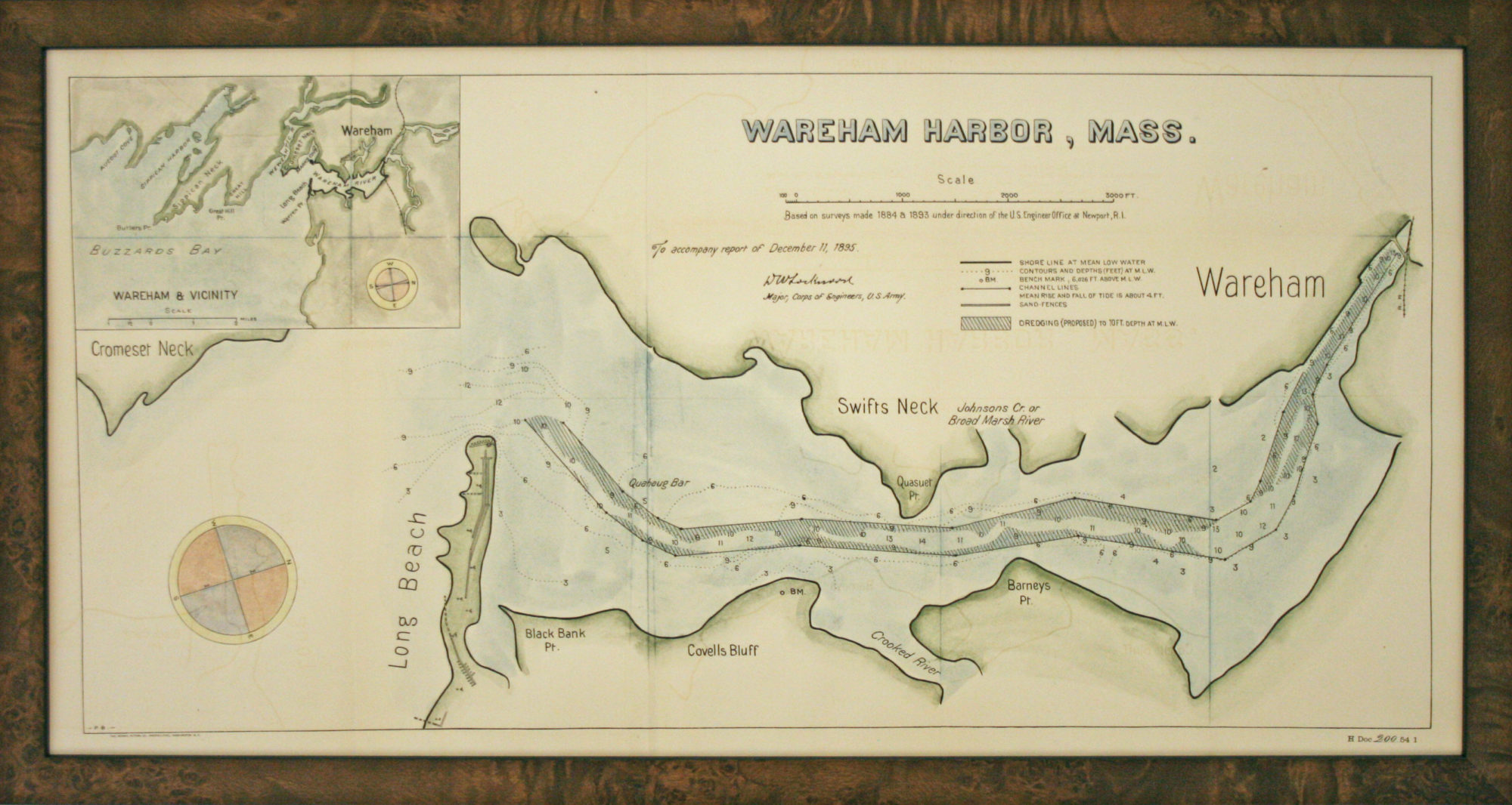
This original nautical map of Wareham Harbor, Mass., dated 1895, was executed by the Corp of Engineers and it shows the proposed dredging area. In the upper left corner is an inset showing Wareham and the vicinity. This group of Army engineering officers was first appointed during the American Revolution by George Washington and then became a separate permanent branch of the Army in 1802. They constructed lighthouses, helped develop jetties and piers for harbors and mapped channels for navigational purposes. The map is tinted and in good condition. The framing is done to conservation standards with an attractive burl wood frame.
Wareham Harbor, Mass. 1895
by Corp of Engineers
Original Antique Map, 13" x 25" Framed, $785